Computerized Tool for the Development of Intensity-Duration-Frequency Curves under Climate Change – Version 8.0
IDF_CC is a publically available web-based intensity-duration-frequency tool to update and adapt local extreme rainfall statistics to climate change.
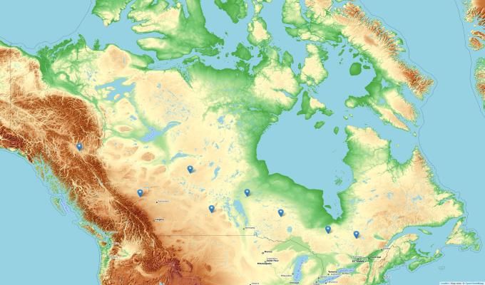
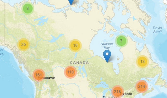
The IDF_CC tool is pre-loaded with 898 Environment and Climate Change Canada rain stations. Users can select any rain station with 10 or more years of data and develop IDF curves based on historical data and curves adjusted to reflect climate change. The tool also allows the development of IDF curves for ungauged locations in Canada. The User's and Technical Manuals (available for download from the Help menu) provide details on how to use the tool and the methodology used to develop the tool.
Version 8.0 of the IDF_CC tool introduces temperature scaling based on the Clausius-Clapeyron relationship, providing users with an additional approach to update IDF curves under projected future climate conditions. This complements the existing Equidistant Quantile Matching (EQM) algorithm, which utilizes precipitation data for climate adjustment.
By accessing any of the options available in this tool you agree with the Terms of Use
We also encourage you to check out the user manual and technical documentation available in the Help section.
Citation:
Simonovic, S.P., A. Schardong, R. Srivastav, A. Gaur and D. Sandink (2025), IDF_CC Web-based Tool for Updating Intensity-Duration-Frequency Curves to Changing Climate – ver 8.0, Western University Facility for Intelligent Decision Support and Institute for Catastrophic Loss Reduction, open access https://www.idf-cc-uwo.ca.
IDFs for Gauged Locations
IDFs for gauged locations
IDF curves based on observations at stations operated by Environment Canada and created by the user.
ContinueIDFs for Ungauged Locations